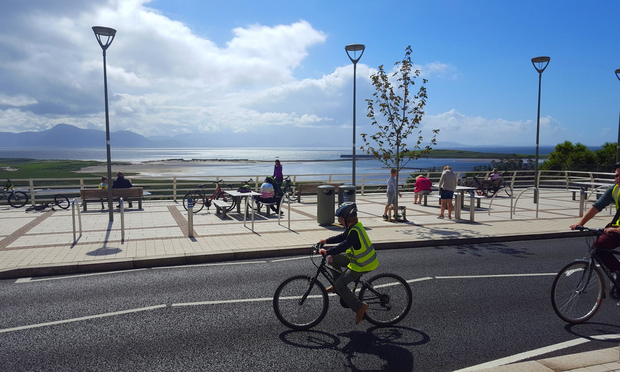
A participative democracy initiative of Mulranny Community Futures
Mulranny Community Futures invites you to take an aerial view, to ponder and consider…

Geodesign is a new way of looking at our world and sharing ideas.
Step 1 is an online “Geosurvey” open to everyone. Suggestions are anonymous and will be included in a master plan.
This Geodesign is focussed on 3 adjoining areas in Mulranny;
- Saint Brendan’s Village,
- Mulranny Amenity Centre and
- adjoining Mayo County Council lands (formerly Freiss’s).
Follow the link to https://survey.geodesignhub.com/j4jd/
Record your suggestions under 10 themes;
- Public Spaces
- Green Infrastructure
- Transport Infrastructure
- Residential
- Water Infrastructure
- Agriculture/Food
- Enterprise/Social Enterprise
- Institutional/Organisational
- Biodiversity
- Green Energy / Climate Action
If you would like to see a demonstration of how to upload your ideas to the Geodesign Map a Zoom Meeting will take place on Tuesday, 30th March at 7pm. Please email mulrannycommunityfutures@gmail.com to let us know that you would like to join and we will forward the Zoom login details to you on Tuesday.
Mulranny Geosurvey 2021 Context:
- Mulranny Community Futures is looking to the community for ideas to create social, economic, environmental, or organisational benefits, e.g., a bus stop, community allotments or a duck pond.
- We are seeking to learn from the community and trial the Geodesign process to empower communities as architects of positive change.
- We want to support:
- Saint Brendan’s Village community care endeavours
- Mulranny Amenity Centre provision of amenity facilities &
- Mayo County Council efforts to meet community housing needs.
- We aim to advance the Mulranny Community Futures Plan 2016 to 2021 and the supply of housing in Mulranny http://bit.ly/MulrannyPlan2016-2021